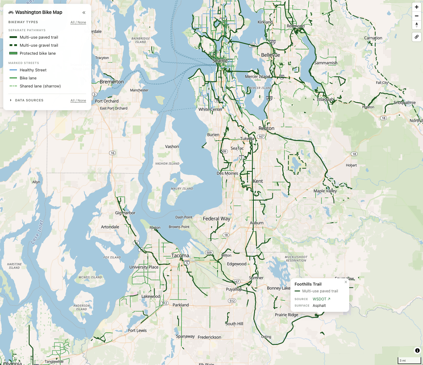
I’ve been wanting a better map for route planning around Washington state that focuses on protected bike paths now that we’re taking our little one on trips in the bike trailer. GIS data is generally scattered across ESRI embeds and PDFs from various state, county and city agencies and I decided to combine all the data I could into a single vector-based web map called Washington Bike Map.
I took inspiration for the categorization and visual styling from Seattle DOT’s great PDF-based bike map. The map breaks paths into two categories, Separate Pathways and Marked Streets. I’ve moved the Healthy Streets symbol into Marked Streets, since local traffic can still drive on them, and split Separate Bikeways into three symbols - multi-use paved trail, multi-use gravel trail and protected bike lane - to differentiate surfaces and flag fully separated trails for added safety.
All of the data sources are linked in the side panel, and you can also tap on a line to view the trail name, its source and its surface type.